Current advanced vision systems aiming for activity recognition are strongly dependant on the locations of particular scenes, thereby restricting the semantic properties of the places where such events occur. Thus, a task for automatic and generic categorization of semantic regions is demanded in the field.

Automatic region labeling on intercity urban scenarios
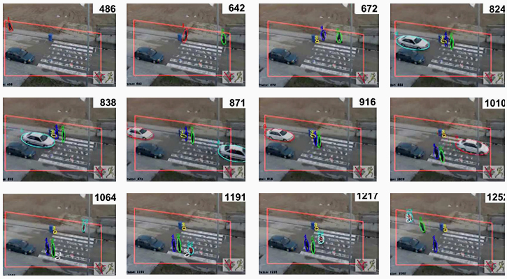
Carles Fernàndez Tena presents a method to perform automatic region labeling on intercity urban scenarios, based on the trajectories of pedestrians and vehicles observed by public webcams. As a result, the system divides the scenario into regions like crosswalks, sidewalks, roads, or waiting zones. Prior information is first modeled using a simple feature-based approach, and additional domain knowledge helps constraining spatial coherence to the results, by means of a MAP-MRF inference process. A progressive and thorough experimental validation will be presented, discussing a series of complementary steps that help enhancing the proposed framework.

